
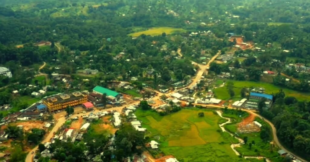
Assam is known for its rich biodiversity and culture. One of the fascinating aspects of Assam is its administrative division into districts. Today, we will explore how many districts there are in Assam, the total district in Assam as of 2025, along with a detailed look at the smallest district in Assam, the largest district in Assam, and the highest populated district in Assam.
How Many Districts Are There in Assam?
As of 2025, Assam is administratively divided into 35 districts. This number has evolved over the years through careful administrative restructuring aimed at improving governance, local development, and efficient service delivery. The reorganization has been driven by the need to ensure that every corner of the state receives adequate administrative attention.
The creation of these districts has taken place over decades. Initially, Assam started with a handful of districts at the time of independence. However, as the population grew and administrative needs changed, new districts were carved out. Today, the current 35 districts are divided into five regional divisions.
The Administrative Divisions of Assam
For a clearer understanding, here’s how the 35 districts are organized into five divisions:
- Barak Valley Division
Comprising districts like Cachar, Hailakandi, and Karimganj, this division is known for its distinct cultural identity and linguistic diversity. - Central Assam Division
This includes districts such as Dima Hasao, East Karbi Anglong, West Karbi Anglong, Morigaon, and Nagaon. Central Assam is an important region for agriculture and trade. - Lower Assam Division
Districts like Baksa, Barpeta, Bongaigaon, Chirang, Dhubri, Goalpara, Kamrup Metropolitan, Kamrup Rural, Kokrajhar, Nalbari, and South Salmara-Mankachar are part of this division. Lower Assam is noted for its bustling urban centers and rural landscapes. - North Assam Division
Consisting of Darrang, Sonitpur, and Udalguri, this division is strategically important and rich in natural resources. - Upper Assam Division
This division includes Charaideo, Dhemaji, Dibrugarh, Golaghat, Jorhat, Lakhimpur, Majuli, Sivasagar, and Tinsukia. Upper Assam is renowned for its tea gardens, historical landmarks, and cultural heritage.
| Division | District | Area (sq km) | Population | Notable Features |
| Upper Assam | Charaideo | 957 | 378,300 | Historical monuments, Ahom dynasty ruins |
| Dhemaji | 3,237 | 686,133 | Flood-prone, rich biodiversity | |
| Dibrugarh | 3,381 | 1,326,335 | Tea gardens, petroleum resources | |
| Golaghat | 3,502 | 1,066,888 | Kaziranga National Park nearby | |
| Jorhat | 2,851 | 1,092,256 | Cultural capital, tea research | |
| Lakhimpur | 2,277 | 1,042,137 | Agricultural hub | |
| Majuli | 483 | 167,304 | World’s largest river island | |
| Sivasagar | 2,668 | 1,151,050 | Historical temples, oil industry | |
| Tinsukia | 3,790 | 1,327,929 | Coal mines, oil fields | |
| North Assam | Darrang | 1,585 | 928,500 | Agricultural district |
| Sonitpur | 5,324 | 1,924,110 | Wildlife sanctuaries, tea gardens | |
| Udalguri | 1,985 | 831,668 | Tea gardens, tribal communities | |
| Central Assam | Dima Hasao | 4,888 | 214,102 | Hilly terrain, tribal culture |
| East Karbi Anglong | 7,939 | 956,313 | Part of largest district | |
| West Karbi Anglong | 2,495 | 302,000 | Tribal heritage, forests | |
| Morigaon | 1,451 | 957,423 | Pobitora Wildlife Sanctuary | |
| Nagaon | 3,831 | 2,823,768 | Highest populated district | |
| Lower Assam | Baksa | 2,400 | 950,075 | Part of BTAD, forests |
| Barpeta | 3,245 | 1,693,622 | Religious sites, handloom | |
| Bongaigaon | 1,093 | 738,804 | Industrial center | |
| Chirang | 1,923 | 482,162 | Tribal communities, forests | |
| Dhubri | 2,176 | 1,949,258 | Border district with Bangladesh | |
| Goalpara | 1,824 | 1,008,183 | Gateway to Northeast | |
| Kamrup Metropolitan | 955 | 1,253,938 | Capital city Guwahati | |
| Kamrup Rural | 3,105 | 1,517,542 | Historical sites | |
| Kokrajhar | 3,169 | 887,142 | Tribal culture, BTAD headquarters | |
| Nalbari | 1,052 | 771,639 | Handloom industry | |
| South Salmara-Mankachar | 553 | 555,114 | Riverine area | |
| Bajali | 423 | 237,000 | Smallest district, agricultural importance | |
| Barak Valley | Cachar | 3,786 | 1,736,617 | Tea gardens, cultural diversity |
| Hailakandi | 1,327 | 659,296 | Border district | |
| Karimganj | 1,809 | 1,228,686 | Border trade with Bangladesh |
Note: Population figures are based on estimates and projections from census data. Karbi Anglong (East and West combined) is the largest district at approximately 10,434 sq km.
Each division ensures that local issues are addressed effectively and that developmental policies are divided according to the specific needs of the regions.
The Largest District in Assam
Karbi Anglong stands out as the largest district in Assam. Covering approximately 10,434 square kilometers, Karbi Anglong is not only vast in size but also rich in natural resources and cultural heritage. The district is characterized by its hills, dense forests, and diverse tribal communities. Its expanse makes it a significant contributor to Assam’s overall geography and biodiversity.
Karbi Anglong’s size offers both opportunities and challenges. While the extensive area supports a wide variety of flora and fauna, it also requires innovative governance to ensure that infrastructure development keeps pace with administrative needs. For instance, connectivity and public service delivery in remote hilly areas have always been a focus for policymakers in the region.
The Smallest District in Assam
Identifying the smallest district in Assam can vary slightly between sources. According to several records, Bajali is recognized as the smallest district by area in Assam, covering about 422.95 square kilometers.
Despite its small size, Bajali plays an essential role in local administration and development. The district’s compact area allows for more concentrated governance, making it easier to implement policies that address the specific needs of its residents.
The Highest Populated District in Assam
When discussing the highest populated district in Assam, Nagaon emerges as the leader. Nagaon, with a population that exceeds 2.8 million people, is the most densely populated district in the state. This demographic prominence is due to several factors, including fertile agricultural lands, robust trade activities, and well-established urban centers that attract people from across the region.
Nagaon’s high population has significant implications for urban planning, infrastructure, and public service delivery. Authorities in Nagaon are continually working on developing sustainable solutions to manage urbanization challenges such as traffic congestion, housing, and resource distribution.
Administrative Evolution and the Future
The administrative evolution of Assam is a testament to the state’s commitment to effective governance. The formation of new districts and the restructuring of old ones reflect a dynamic process aimed at bringing government services closer to the people. With 35 districts now in place, the state is better equipped to address local issues, plan regional development, and celebrate the cultural diversity that defines Assam.
Looking ahead, further administrative adjustments may occur as population shifts and developmental needs evolve. The recent administrative changes up to 2025 are expected to serve as a robust framework for future governance, ensuring that every district, whether large or small, contributes to Assam’s overall progress.
To summarize, the total district in Assam as of 2025 stands at 35, divided among five well-organized regional divisions. The largest district in Assam by area is Karbi Anglong (approximately 10,434 sq km), while the smallest district in Assam is Bajali (around 422.95 sq km). In terms of population, Nagaon is the highest populated district in Assam, hosting over 2.8 million residents.
Assam continues to evolve, and its districts play a pivotal role in shaping the state’s future. Stay updated with the latest developments and administrative changes to truly appreciate the dynamic nature of this remarkable region.